Florida publishes the locations of underwater fish attractors, including brush and artificial structures in public lakes. Those points can help catfish anglers choose somewhere specific to investigate instead of drifting across featureless water. But a marked attractor is a habitat location, not a live report of catfish. The useful approach is to check the map, understand what the structure was built to do, then fish its edges only if the water and access make sense.
An attractor is a deliberately placed cluster of material that gives small fish and other aquatic organisms shelter. Bigger fish may visit the area to feed, making it a potential starting point for a catfish trip. The mistake is treating the marker itself like a guaranteed feeding spot, especially when a structure was installed primarily to improve opportunities for bass, bream or crappie.
Start with the official Florida fish-attractor map
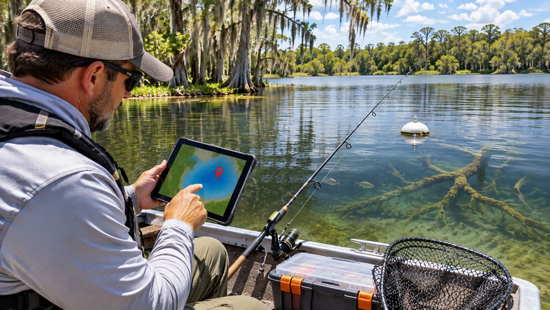
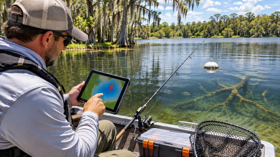
The Florida Fish and Wildlife Conservation Commission (FWC) maintains an interactive fish-attractor map and coordinate list. Open the page, choose a waterbody you can legally reach, and note the approximate location of the installed structures. The agency’s page shows examples of both natural brush and longer-lasting artificial attractors, including work on lakes in the Harris Chain.
Use the pin as a search starting point, not as the exact corner where your bait must land. An attractor location may represent a group of submerged objects rather than a single tree-shaped structure. Materials change, and brush can deteriorate over time. A waypoint also says nothing about whether a boat ramp is open, a shoreline is publicly accessible, or a particular fishing method is permitted.
Before leaving home, match the waterbody name and coordinates to your navigation app or GPS. Check the local forecast, boating conditions, fishing regulations and public-access information independently. From a bank, be realistic about casting distance: a mapped offshore attractor may be impossible to reach safely without a boat.
Why the map does not promise catfish
FWC describes fish attractors as shelter for sportfish and forage organisms such as insects, crustaceans and minnows. The agency also shows bass and sunfish using these structures. That means a point can be valuable habitat without automatically holding channel, blue or flathead catfish when you arrive.
For a better species check, compare the attractor with FWC’s catfish fishing sites and forecasts. The agency identifies productive catfish waters and notes, for example, channel catfish using woody structure and offshore vegetation at Lake Thonotosassa. That is a reason to investigate nearby cover in a suitable lake, not evidence that every mapped brush pile holds feeding catfish.
Water depth and bottom shape matter too. A brush cluster beside a drop-off, submerged creek channel or clean-bottom travel route offers a different presentation from one surrounded by a shallow, uniform flat. You can test these differences without pretending to know where the fish are before making a cast.
Turn one map pin into three practical casts
Instead of throwing a sinker into the middle of tangled limbs, begin by studying the water immediately around the attractor. The outside edge is the first test: place a legal bait on open bottom close enough to intercept a fish moving along the structure, but not so close that every retrieve buries the hook.
Next, try the deeper or channel-facing side if one exists. A change in depth may offer fish a route between cover and open water. Then test a clean approach lane, such as the gap between the attractor and nearby vegetation or a gently sloping bank. These are different hypotheses to test, not three proven feeding stations.
Where legal and safe, keep the same bait and hook arrangement for several casts so that a change in result is easier to interpret. If the rig repeatedly snags, back away from the densest cover or change your casting angle. An underwater structure should help you narrow the search, not become an excuse to lose tackle every five minutes.
Protect the attractor while positioning your boat
FWC explicitly warns anglers not to anchor near fish attractors, because anchors can tear away brush or panels and reduce the site’s usefulness. Set up outside the structure’s footprint, taking account of wind, current and other boat traffic. Use a safe position that lets you present bait along an edge without crossing the entire cluster with your anchor rope or line.
If you have side-imaging sonar, the map is useful for getting into the right neighborhood, while the screen can help clarify how the cover lies on the bottom. The site’s side-imaging guide for finding catfish cover explains how to scan from more than one direction and mark useful edges rather than simply the brightest return. Sonar is helpful, but a cautious shore angler can still use the map to choose a public location and work reachable cover.
Do not sink your own brush pile or homemade plastic tree in public water because a fishing spot looks empty. FWC says placing attractors in certain waters may require permission from the Florida Department of Environmental Protection or the relevant water management district, and litter rules also apply. Fish habitat projects belong in the proper permitting process.
Make the next trip a comparison, not a guess
Choose one mapped attractor that is reachable and a second nearby area with similar depth but less obvious structure. Fish both with comparable bait and reasonable time on each. Record whether the bait held bottom, where snags occurred, the water conditions, and any catfish encounters. That simple comparison is more informative than declaring a map pin good or bad after one missed bite.
Florida’s public fish-attractor map answers where managers placed underwater cover. It does not answer where catfish are feeding right now. Use the official coordinates to build a trip, use the water around the structure to plan your presentation, and leave the habitat intact for the next angler.