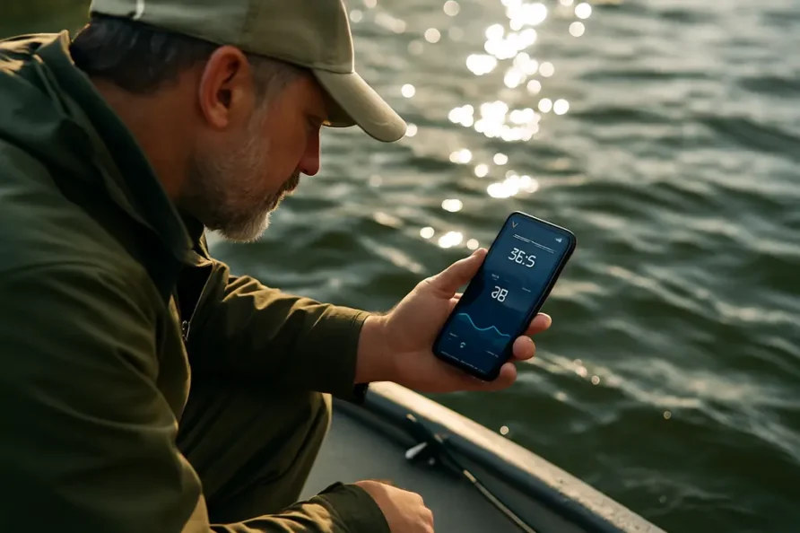
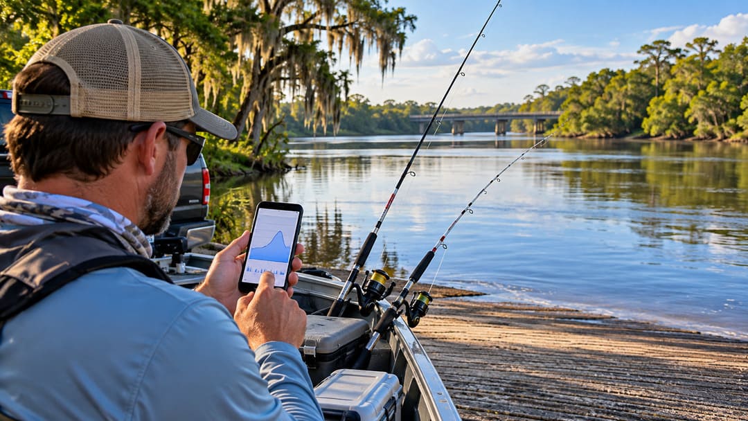
Before launching for catfish on a Florida river, particularly after heavy rain, check two different things: what the water is doing and what boats are allowed to do on your exact stretch of river. A gauge can show a rise or fall before you reach the ramp. It cannot, by itself, tell you whether a flood-related idle-speed restriction is active or whether your route is safe.
Florida’s Suwannee, Santa Fe, St. Johns and Withlacoochee systems illustrate why this matters. Anglers may be watching the same river for fishing conditions while state officials use particular gauge readings to activate boating restrictions on defined reaches. The useful skill is learning which reading answers which question.
Once the exact reach is accessible, legal and safe, river conditions can inform the fishing decision. A manageable current may make protected seams or downstream pockets worth testing. The site’s guide to reading catfish water explains how visible flow, structure and bait movement can help choose an initial cast. That is a next step after the safety check, not a substitute for one.
River stage is not the depth under your boat
A number marked 6 feet on a river gauge does not mean the river is six feet deep at your fishing spot. As the U.S. Geological Survey explains in its guide to gage height, stage measures the water surface above a reference point, called the gauge datum, assigned to that particular monitoring station. It is not a depth sounder or a universal elevation scale.
Consider a hypothetical station that rises from 5.0 feet to 6.4 feet over a day. The useful observation is a 1.4-foot rise at that station. It would be wrong to conclude that the navigation channel is now 6.4 feet deep, or that a different river showing 6.4 feet has the same conditions.
Discharge is another measurement: the volume of water passing a location in a given time, usually reported in cubic feet per second. Stage and discharge are related, but they are not interchangeable. Neither number tells you how fast the water is moving beside a particular logjam, boat ramp or bend.
Start with the right station and its recent trend
The USGS National Water Dashboard provides access to current monitoring data and water-level information. Find a station on the river you intend to fish, then confirm its name, position and the time of the latest observation. Where possible, compare readings over the past day or several days rather than judging a trip from a single number.
A steady reading, a rapid rise and a falling level after a crest describe different situations. For a catfish angler, they may suggest that familiar banks, seams and access points have changed, but they are not a forecast of fish feeding. A reading upstream may also differ from conditions at a downstream launch, particularly where tributaries, dams or tidal influence affect the water. USGS observations can be provisional, so do not treat an old or missing data point as a safety clearance.
Add the flood forecast, not just today’s measurement
The National Weather Service’s National Water Prediction Service offers river observations, forecasts and flood information where available. Its forecast plots address what may happen after the latest gauge reading; they are not interchangeable with observed measurements.
Flood and action stages are set for particular locations. They describe potential impacts and preparedness thresholds, not the quality of the catfish bite. Heavy rainfall upstream can alter a trip even when the sky over your ramp is clear. If the river is forecast to rise sharply, reconsider exposed banks, unfamiliar boat routes and return access before deciding where to place bait.
Florida’s no-wake restrictions are reach-specific
The Florida Fish and Wildlife Conservation Commission maintains flood-related boating restriction notices for the Withlacoochee, Suwannee and Santa Fe, and St. Johns rivers. During flood conditions, defined stretches can be designated Idle Speed/No Wake or Closed under applicable rules. FWC ties those activations to specified NOAA or USGS gauge readings, and the threshold can differ from one stretch to the next.
That means there is no single statewide river-height number that tells every catfish boat when to idle. Check the FWC page for the particular reach you plan to travel, including its activation status and boundaries. The agency says its flood-zone information is updated Monday through Friday by 5 p.m. Eastern, so it should not be mistaken for a continuously refreshed on-water observation. Check current official notices and posted signs as well.
An idle-speed zone is not the same as a complete closure. Equally, an unrestricted listing does not guarantee a ramp is open or that submerged debris, swift water or eroding banks are safe. Local access managers may have separate closures. Observe all posted speed limits and closures regardless of whether fishing appears promising.
Turn the readings into a realistic catfish plan
If recent rain has stained the river without making access hazardous, these Florida muddy-water catfish tactics provide ideas for presenting bait along softer current boundaries. They are conditional fishing options, not a reason to launch during flooding. Fish location can change with water conditions, and no gauge reading guarantees a catch.
A practical pre-trip sequence is simple: identify the correct monitoring station and its latest trend; check the available downstream or upstream observations and flood forecast; confirm FWC restrictions for your actual route; and verify the ramp, local notices, weather and safe return path. If those checks disagree or the water is unsafe, choose another location or postpone the trip.
The distinction is worth remembering: a river gauge describes water conditions, a forecast describes possible change, and FWC’s notices describe certain boating restrictions. Catfish anglers need all three before the first boat run, not just the one number that looks most encouraging.